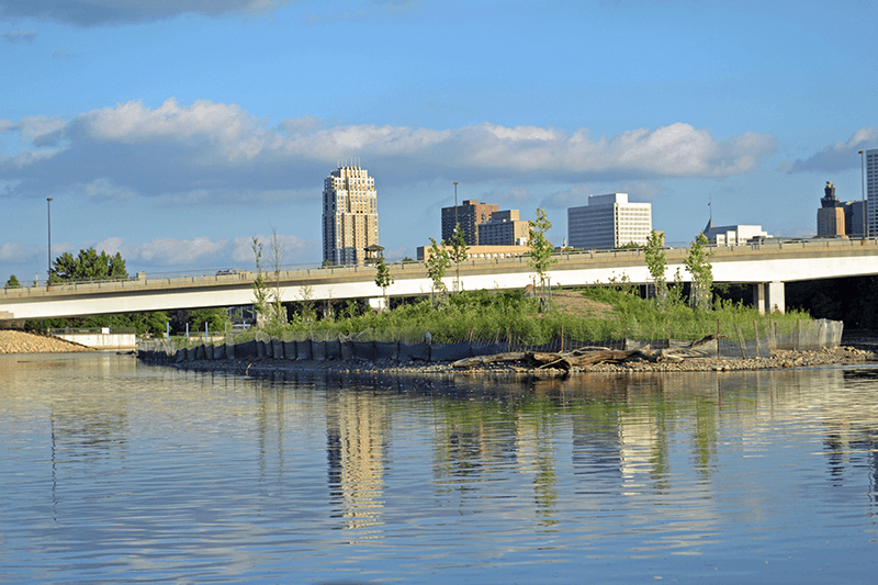
It’s not the smallest island in the Mississippi River, nor is it the first to be rebuilt. For now, however, Hall’s Island, just below the Plymouth Ave. bridge, is the newest.
Hall’s Island is a cooperative project of the Minneapolis Parks and Recreation Board (MPRB), and the Mississippi Watershed Management Organization (MWMO). The 4.4-acre island’s primary purpose is to provide habitat for a variety of wildlife — birds, turtles, mussels, fish, aquatic mammals, pollinators and others. Although a couple of pedestrian bridges will eventually connect it to the eastern shore, it’s off-limits to humans at this time.
The island became connected to the mainland back in the 1960s, when Scherer Brothers operated a lumberyard there and filled in the channel to gain more workspace. MPRB bought the land from Scherer Brothers in 2010. The acquisition was financed with $5.3 million from the Legacy Act’s Parks and Trails Fund, $1.7 million from the Regional Park Acquisition Opportunity Fund, and $700,000 from 35W bridge condemnation funds from parkland purchased for the new 35W bridge in downtown Minneapolis.
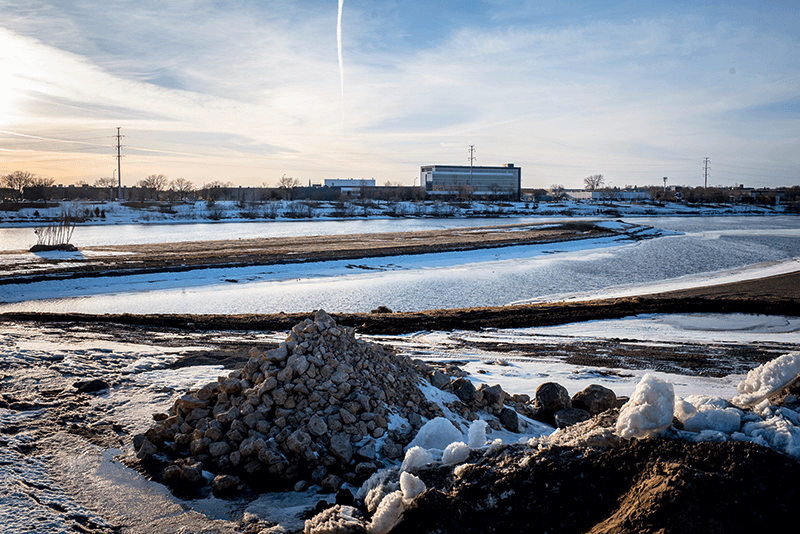
Reconstruction began last fall. Throughout the winter, crews excavated more than 32,000 tons of contaminated soil and brought in nearly 31,000 tons of clean sand to rebuild the channel and establish the new shoreline. At the height of the operation, materials moved in and out of the site at a rate of 120 truckloads per day, according to an MWMO blog post.
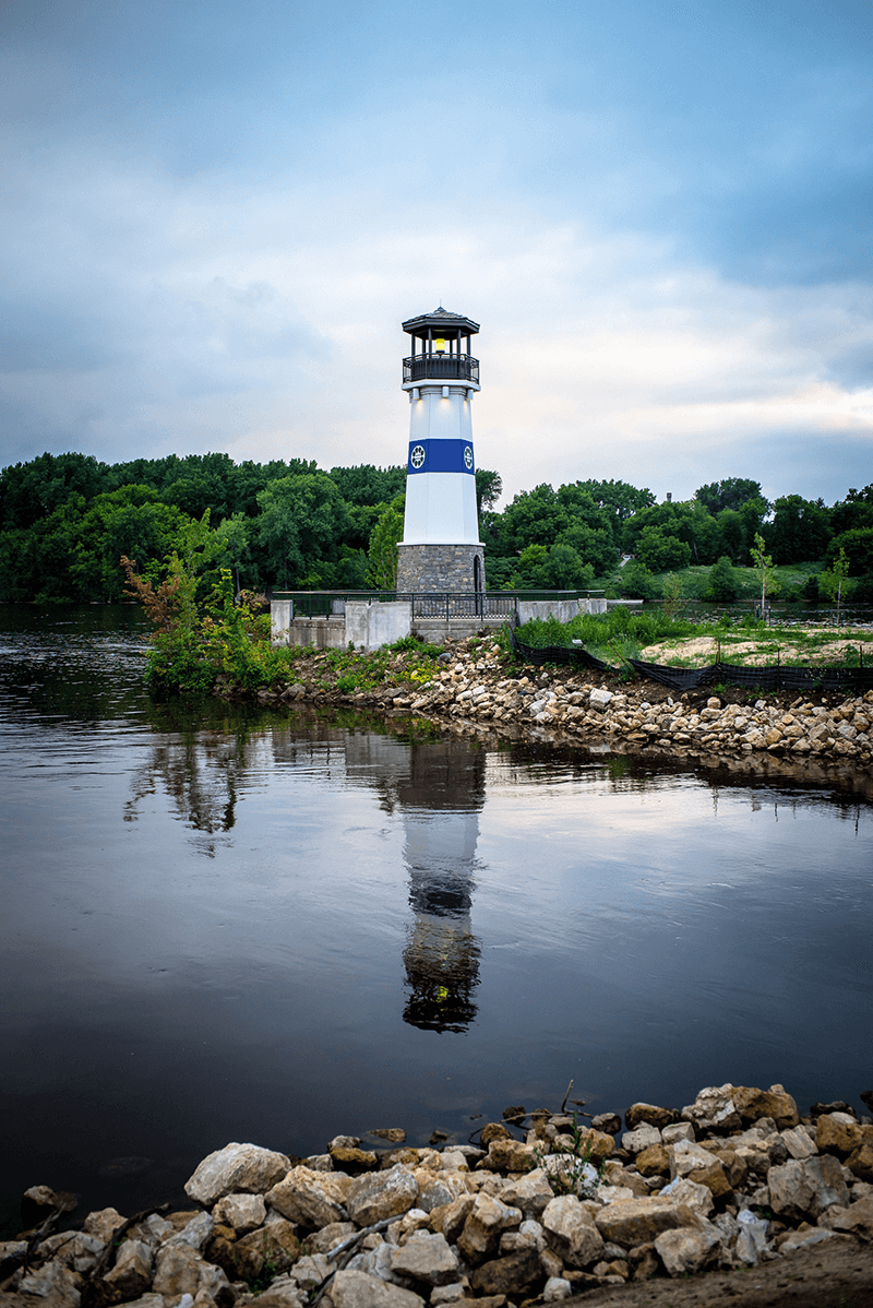
In the process, the Boom Island lighthouse site was disconnected from the shore at Boom Island Park. It now stands proudly at the southern end of the cigar-shaped island. The river channel between the island and the shore is 120 feet to 150 feet wide and 6 feet deep (depending on river conditions), enough to take a kayak or small fishing boat through.
The island was planted with cottonwood trees and various types of prairie grasses and flowers (wet, dry, deep-rooted). The east side of the island features a sandy beach for turtles; the west side, which is nearest the river’s main navigation channel, will have a floodplain forest.
Work on the mainland continues. Already, a terraced gravel beach facing the island has been built, and prairie plantings have been established next to it. Eventually Scherer Park will host a small café and a marketplace.
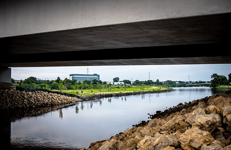
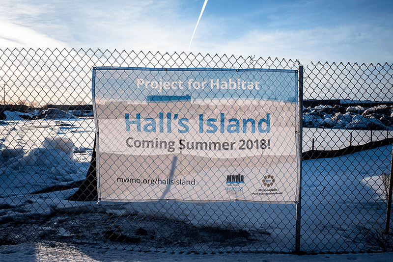
Below: Hall’s Island was a snowy, desolate scene just a few months ago, shown in far right top and bottom photos. A channel has since been carved through so the river can run again where it once ran, right middle photo. The Boom Island lighthouse is now the Hall’s Island lighthouse, and sits at the south end. (Photos by Mike Madison)
The island is currently off limits to humans. The view (below) from the river on the north end shows that it is still a work in progress. The project is a collaboration of the Minneapolis Parks and Recreation Board and the Mississippi Watershed Management Organization. (Photo by Cynthia Sowden)
